
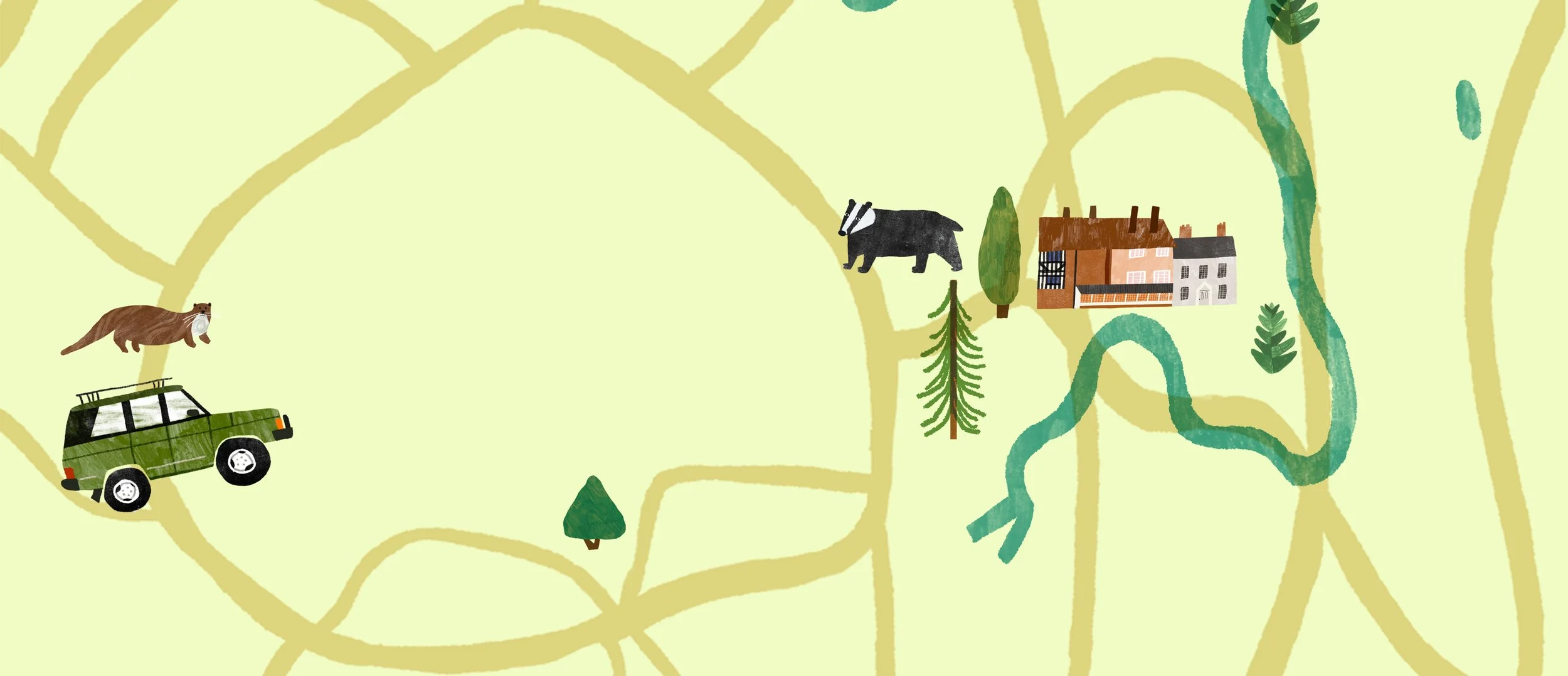
bespoke illustrated maps
I create bespoke illustrated maps that celebrate people, places and the stories that make them special. From colourful town and city maps to heritage trails, visitor maps and illustrated guides, I work with museums, universities, councils, heritage organisations and businesses to bring places to life through illustration.
My maps combine recognisable landmarks, local history, nature and playful details to help people explore, discover and connect with their surroundings. Whether you're looking for a map to help visitors navigate a space, tell a story or celebrate your local area, I'd love to help!
why illustration?
Some things are just better explained with pictures. Illustration can bring words and ideas to life, or do the talking when words aren’t enough.
It can make complex information more accessible, spark curiosity, engage different audiences and help people see the bigger picture.
turn your brilliant ideas or complex research into something people actually want to look at.selected map illustration projects
Dive into some of my recent map projects
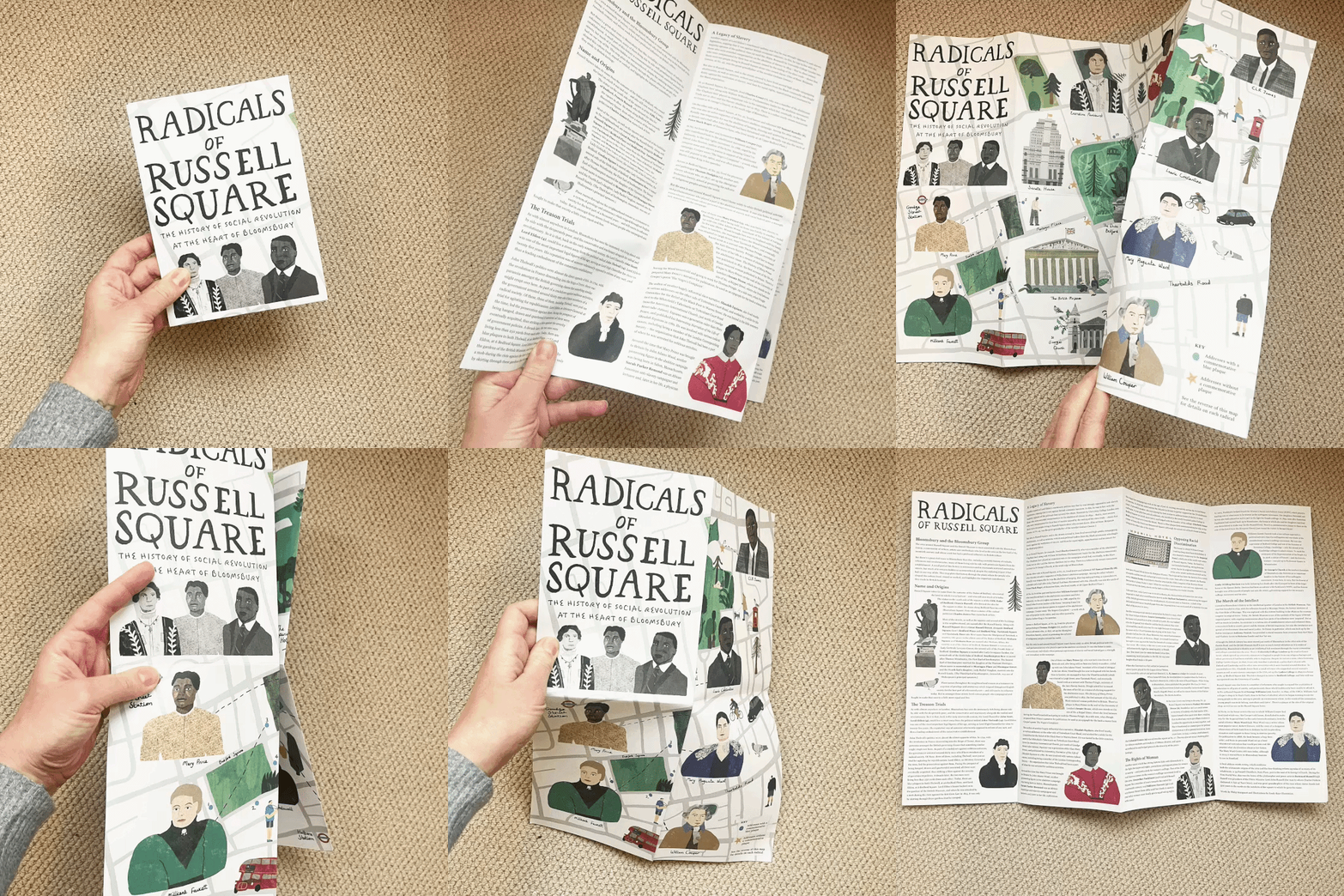
Radicals of Russell Square
Research Map Illustration, The OU
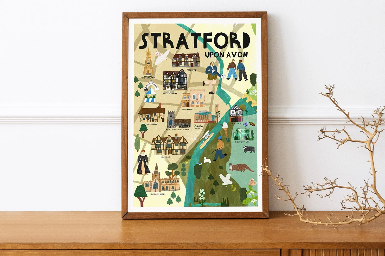
Illustrated Map of Stratford
Celebrating Stratford-upon-Avon
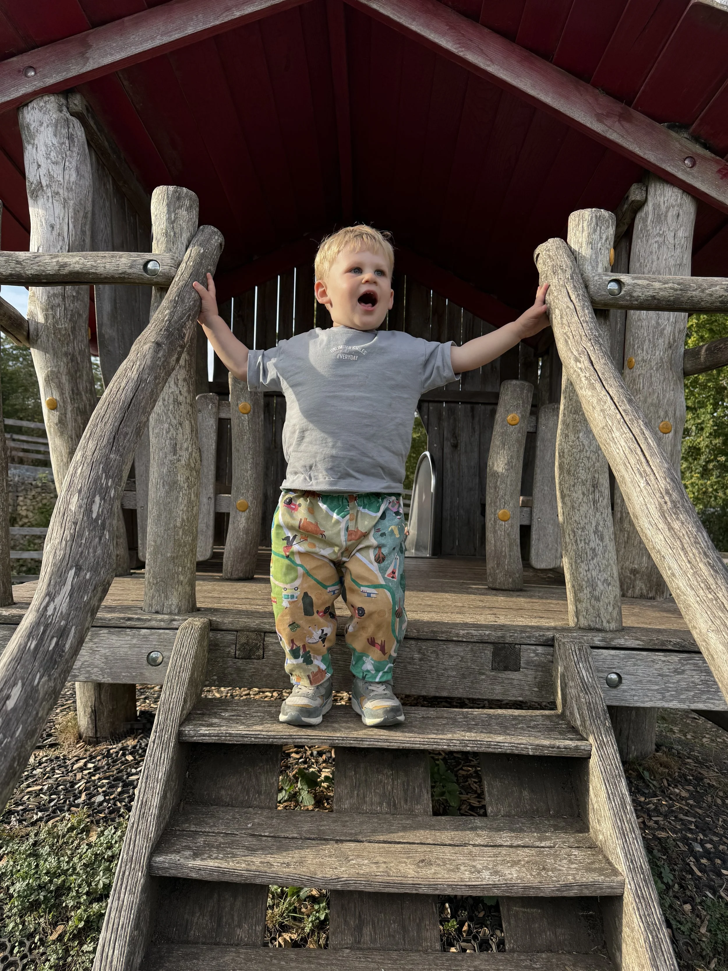
An Illustrated Map Pattern
An Illustrated pattern for children’s clothes
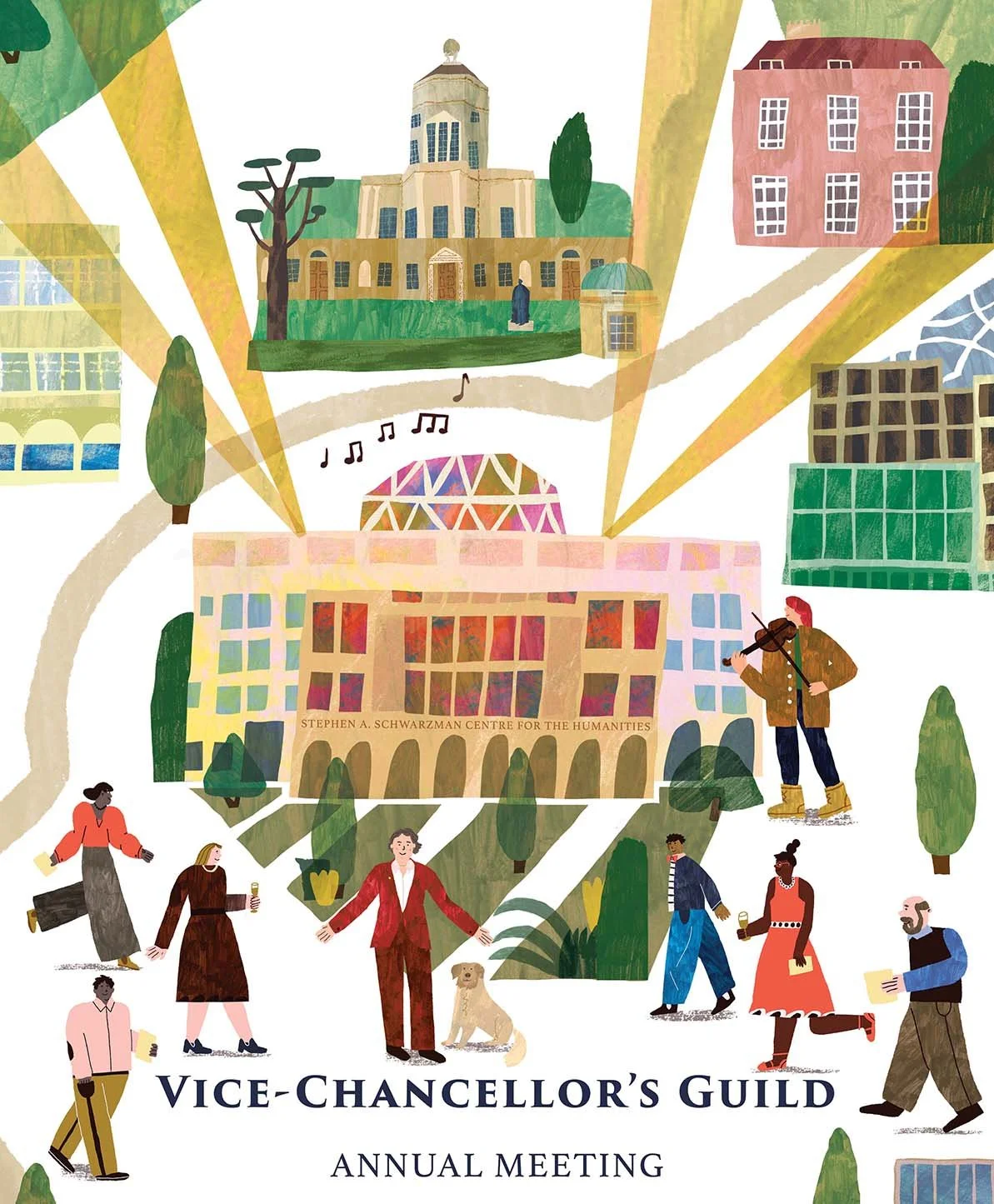
Invitation & Map
Oxford University
how it works…
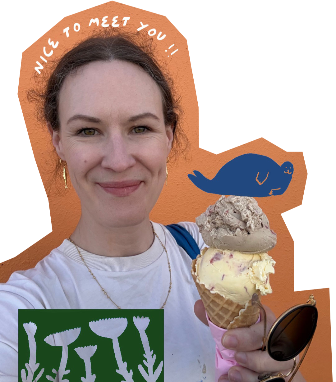
it starts with a chat
We’ll discuss your project aims, audience and goals. I’ll understand the project and ask lots of questions.
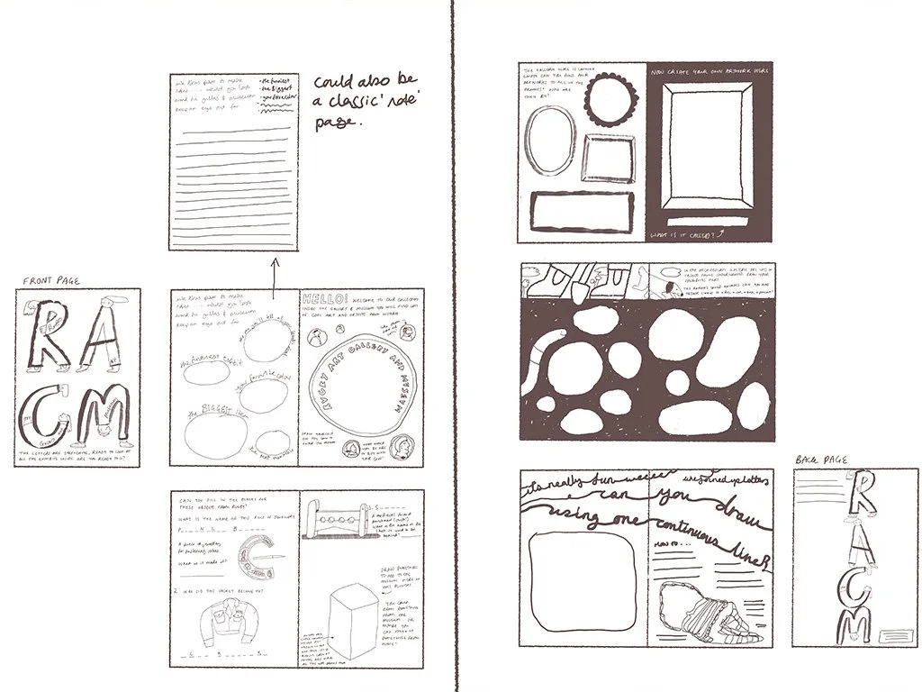
research & ideas
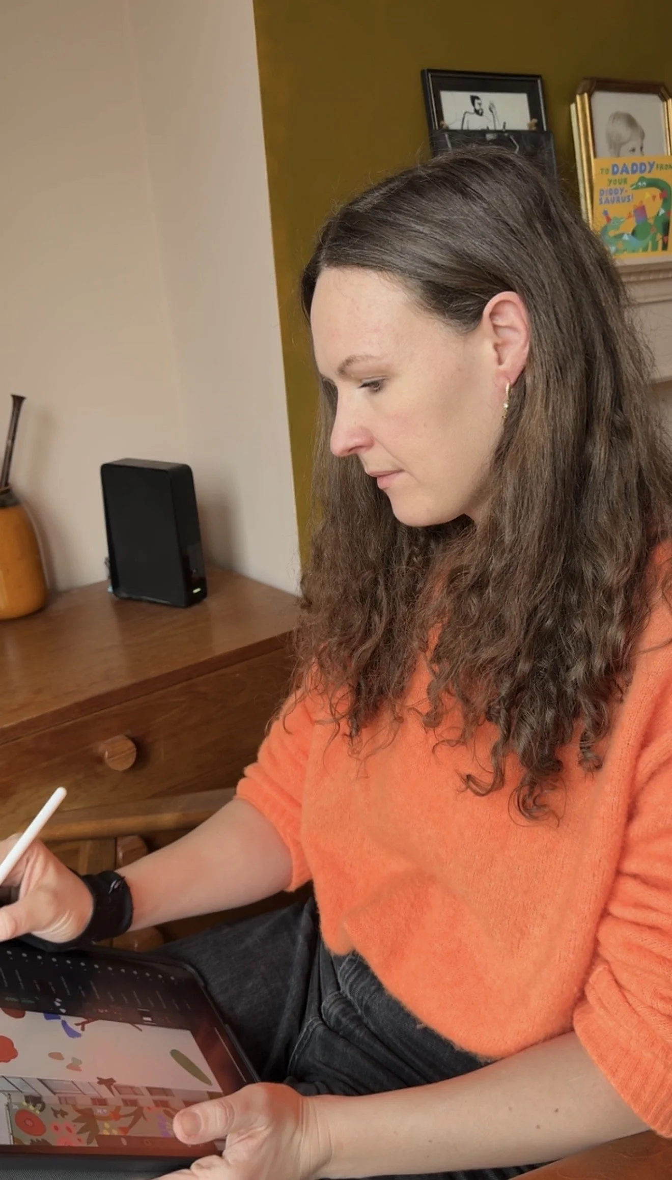
I’ll get my drawing cap on and start sketching ideas. I’ll share these with you as rough concepts.
development
With your feedback I’ll refine the chosen direction. There are 2 more rounds of revisions at this stage.
Read my guide on commissioning a bespoke map illustration
final artwork
You’ll receive your finished, high quality artwork ready to use and show off to your clients and customers.