
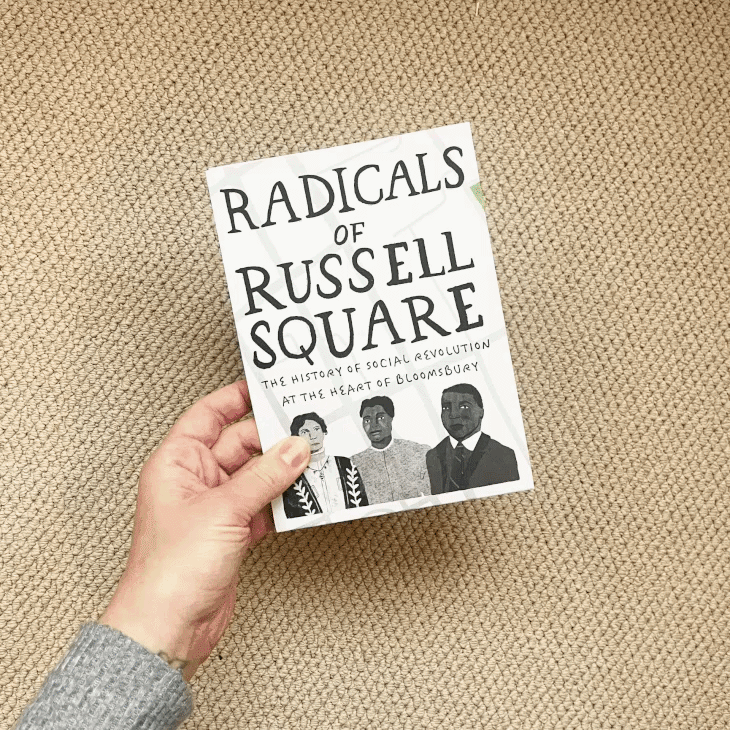
The radicals of russell square
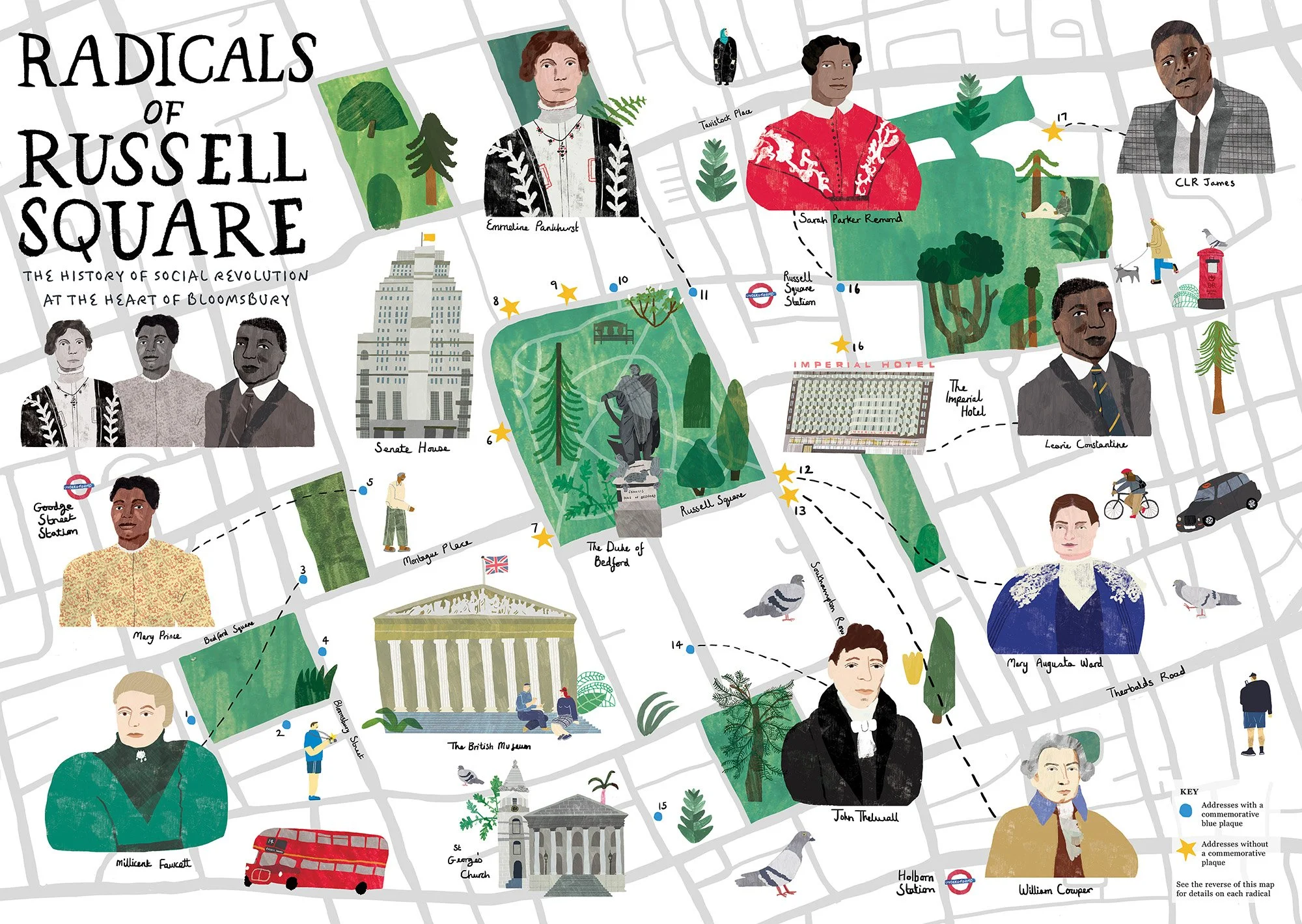
This map is the result of a collaboration with Dr Philip Seargeant, a writer, researcher & educational filmmaker specialising in the study of language & communication. Philip describes the map as ”a kind of illustrative ‘cultural map’ that aims to capture the essence of the region's rich heritage. It does this by highlighting the area’s connection to significant political, cultural, and social movements throughout history. It brings historical narratives to life, connecting ideas, people, and places in a way that invites exploration and engagement. We wanted the visual representation to provide an artistic but also accessible informative experience, demonstrating how a varied and interesting heritage can be understood through the streets of a city and the people – and ideas – that lived there.”
london 2024
We won OU research image of the month. Read about it here.
In this map, Philip’s research is brought to life through illustrations that physically place these often overlooked figures back on the map. We can give them the attention, recognition and reflection they fought for. Many of the figures within Philip’s research were working tirelessly in times of segregation and oppression, going against the grain for social justice and human rights. This project for me is one that champions illustration. Imagery supporting text, bringing concepts to a new audience, facilitating discussion and reflection.
I love combining illustration with maps. They’re a powerful tool to give a sense of place and belonging, connecting us to streets, landmarks and geography. If you have a placemaking project that would benefit from a map illustration, get in touch