warwick map

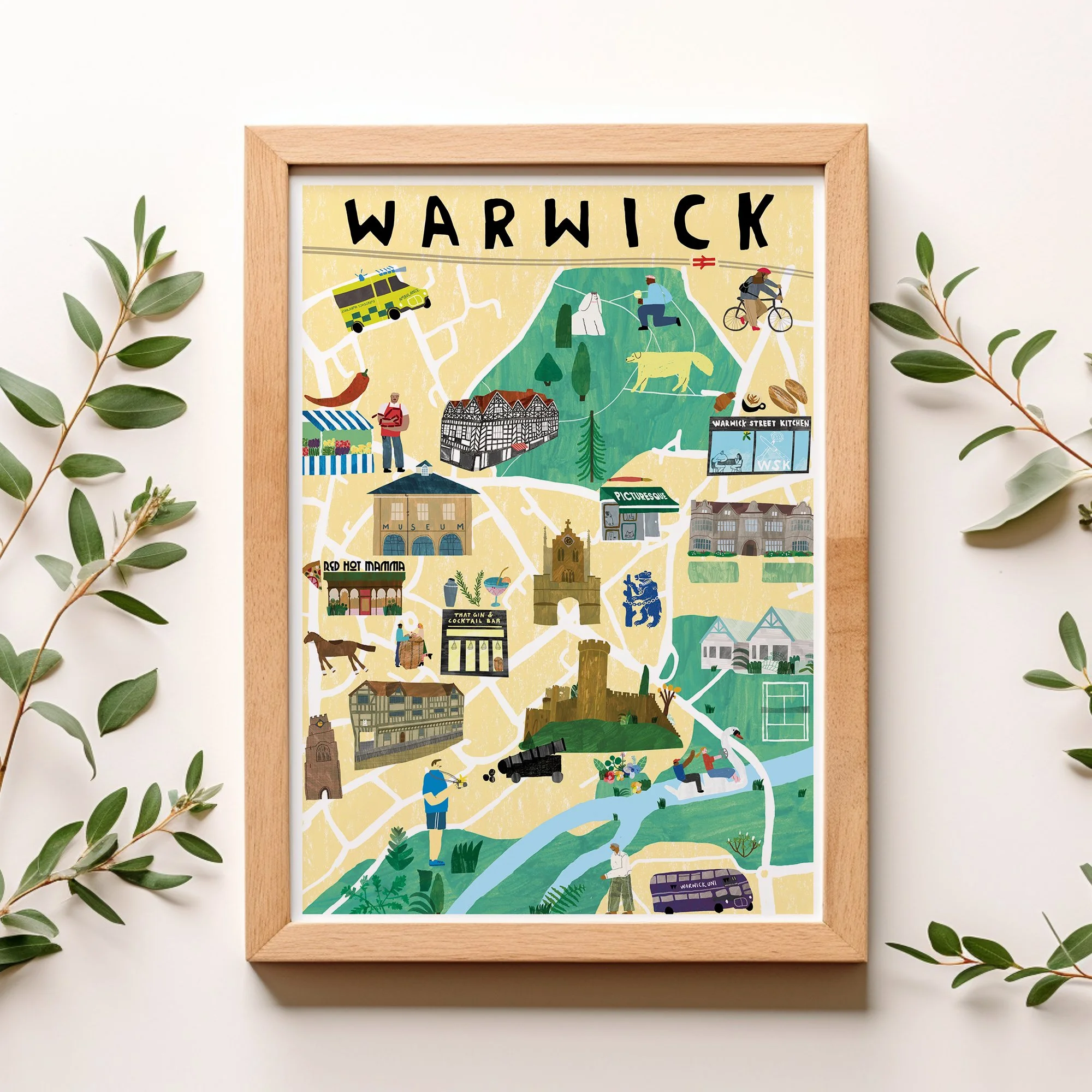
Colorful illustrated map of Warwick with landmarks, streets, and local features including a school, museum, church, and various activities, framed and decorated with green foliage.

warwickshire 2025

I’m on a mission to map my local area from the Midlands. I like to add places I have been and have a connection to to make sure I create a fair representation of the place, so I’m slowly exploring Midlands villages and towns, on the hunt for illustration inspiration. This is my latest map of Warwick. It is also available as a print and teatowel & will soon be in my shop.
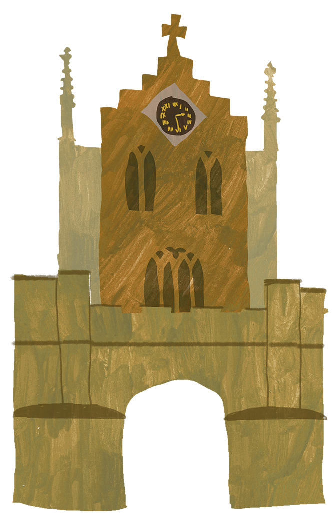

A watercolor painting of Big Ben clock tower in London, with a stone wall and a reflection in water at the bottom.
A person at an ATM machine, holding a card.
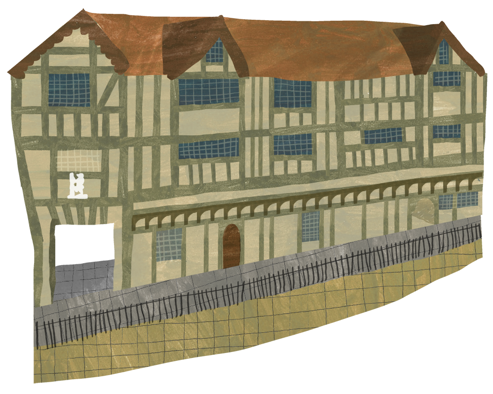
A digital painting of a large, old, partially constructed building with wooden beams, a red-tiled roof, blue window panes, a private balcony, a brick doorway, and a surrounding stone fence.